
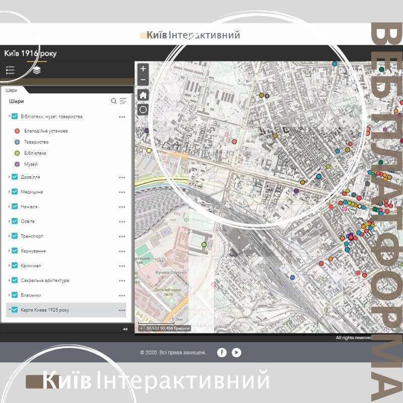
We developed an interactive web platform that brings the history of Kyiv to life through maps and storytelling.
Digitized and adapted the old historical maps, aligning it with the modern city layout
Collected, cleaned, and structured historical data for accurate geolocation and display
Built an interactive map featuring detailed information about landmarks, buildings, and institutions, powered by the ArcGIS ESRI system
Integrated storytelling elements, turning data into an engaging narrative about the city’s past
The result is a digital experience where history meets technology — allowing users to explore Kyiv’s heritage in an interactive and visually immersive way.
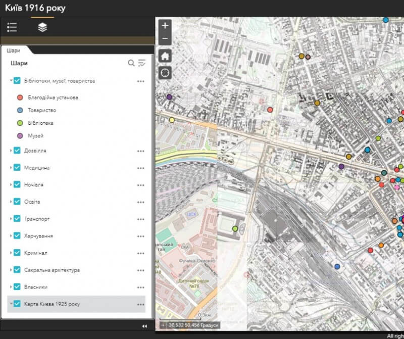
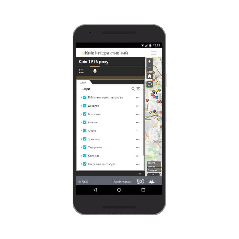
Interactive Online Map – The Core of the Platform
At the heart of the Kyiv interactive web platform lies the online map, which brings the city’s history to life.
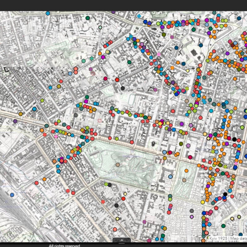
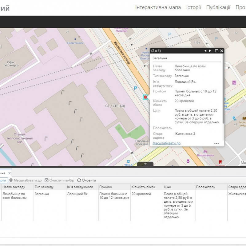
Buildings, institutions, and historical sites are displayed as markers of different types and colors
Each marker is clickable, providing access to detailed information from the project’s database
The old historical map of Kyiv was digitized, warped, and added as a dedicated layer alongside the modern city map
The result is an immersive tool that combines geography, history, and technology in a single interactive experience.
Ready to discuss your project?
Write to us